Find the Lost Coast
"Difficult roads often lead to beautiful destinations"
...it's a classic inspirational quote, but what if your destination is such a challenge to arrive at a road can't even be built??? Would that otherwise pretty location be described with more excitement such as majestic, dazzling, or some other riveting adjective? If that's the case, let's just say the Lost Coast is Drop Dead Gorgeous!!!
Looking at photos of the area you could mistake it for Alaska, but this area is actually only a couple hundred miles from San Francisco making it an easy drive for any city slicker or Tahoe hipster like me. Located in the weed growing mecca Humbolt County, there's a 75 mile stretch of coastline that's so rugged the original highway builders detoured over 20 miles inland for more reasonable developing conditions. Those same builders had accomplished a route through Big Sur, so that should say how savage the King Range is. The one road that takes you to the middle of the area is a rollercoaster of a ride too; your backseat passengers will be asking for you to pull over, as ours did. The only way for you to experience the entire length of it's postcard scene is by foot. ....or, through stories like mine!
The Lost Coast Trail is awesome, but it's not a walk in the park. You likely won't see anybody else on the 3 to 4 day trek (permits are very limited and booked out for months in advance). There are a few deadly high tide zones that are up to 4 miles long- read the charts, you don't want to be there at the wrong time, and no cell signal out here to call for help. It's also best to stay near a stream to conveniently filter fresh water rather than carry the weight. That's all the advice I have, but plan to have your plans change at any minute and you'll have a great experience.
So after a couple weeks of obsessive research I pitched this adventure to a group of close friends (Corey Smith, Brad Farmer, Alyssa Gross, & Stephen Duke). I teased them with the best photos you could google online, glamorized a FOMO inducing plan, and they were in! I secured a permit, we each got a bear canister and food for a few days, loaded up our gear, and we sent it!
You won't get lost just walking down the beach, but bring a map to locate your fresh water creeks and high tide zones.
We chose to hike the upper section from Mattole Beach to Shelter Cove. It's on the beach 90% of the time, though that varies from nice fine sand to wobbly marble pebbles to slick watermelon sized boulders. In the end our GPS tracker said we did nearly 30 miles of walking, but the challenging ground types made it feel much further. ...a bit of hike training the weeks before and using lightweight gear made it a little easier. Bring your favorite pain reliever, mine was cbd & wine.
*my gear: pack, trekking poles, tent, mummy bag, pad, small range of clothes various weather conditions, first aid kit, water filter, jetboil, lots of snacks, freeze dried meals, taco bell hot sauce, avocados, coffee, utensils, toiletries, bear can, gps, leatherman, survival kit, lantern, headlamp, a really heavy camera & lens, and a 3 liter box of wine minus the box.
I actually didn't take a lot of photos along the way since taking off my heavy pack started to slow our pace and become 'that camera guy'. There are many many more amazing moments in between these pics that you'll have to imagine or someday see for yourself!
The trail in the beginning is nice and casual, starts you off in a great adventurous mood.
We nailed it on timing, the weather was perfect. The majority of the year it rains heavily around here and makes the creek crossings dangerous. Late summer is the best.
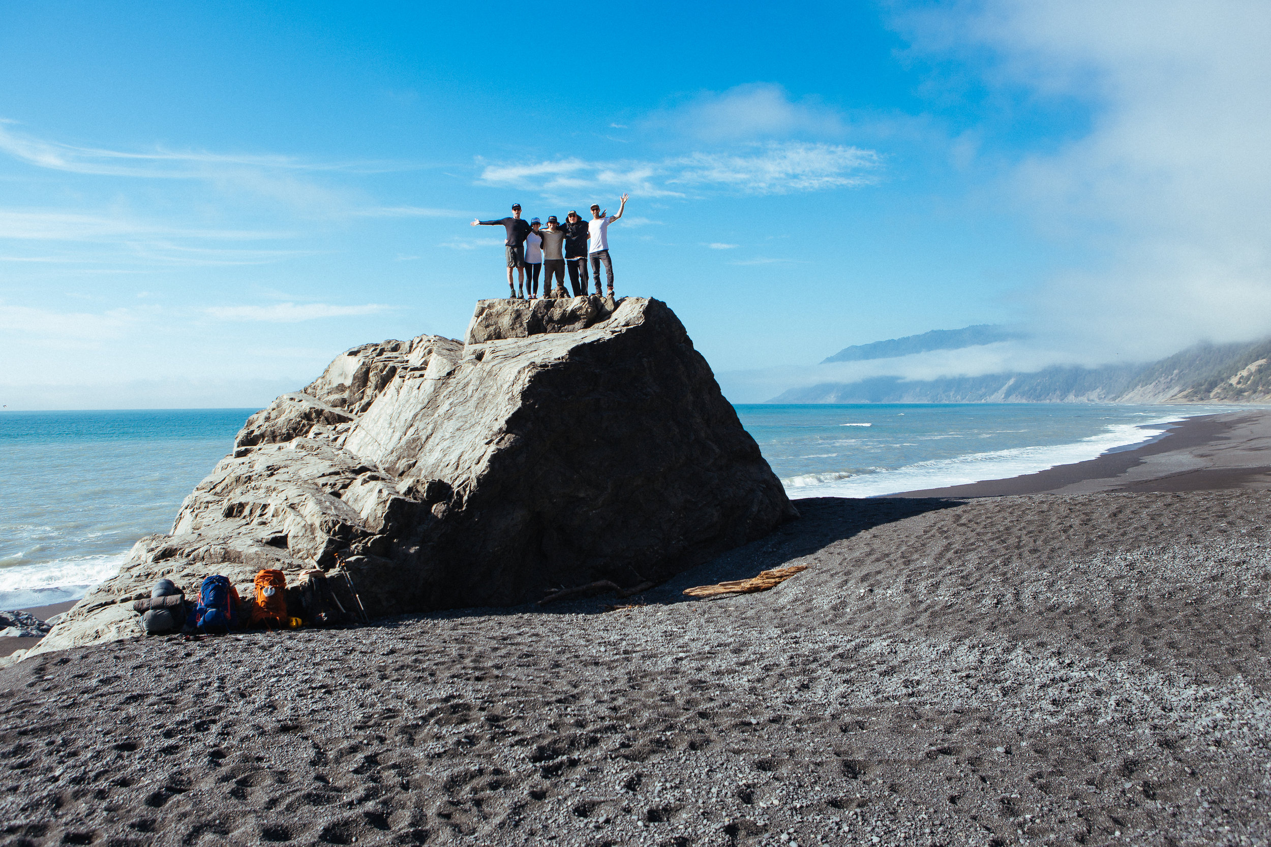
I forced everybody to take a rest here for some photos. They happily obliged.
Even at the end of the 30 mile hike they were smiling at each other. That's love or something.
Stephen and I have probably made a 1000 photos together over the years. He was a highly renowned professional snowboarder and we had dozens of shots published in the mags.
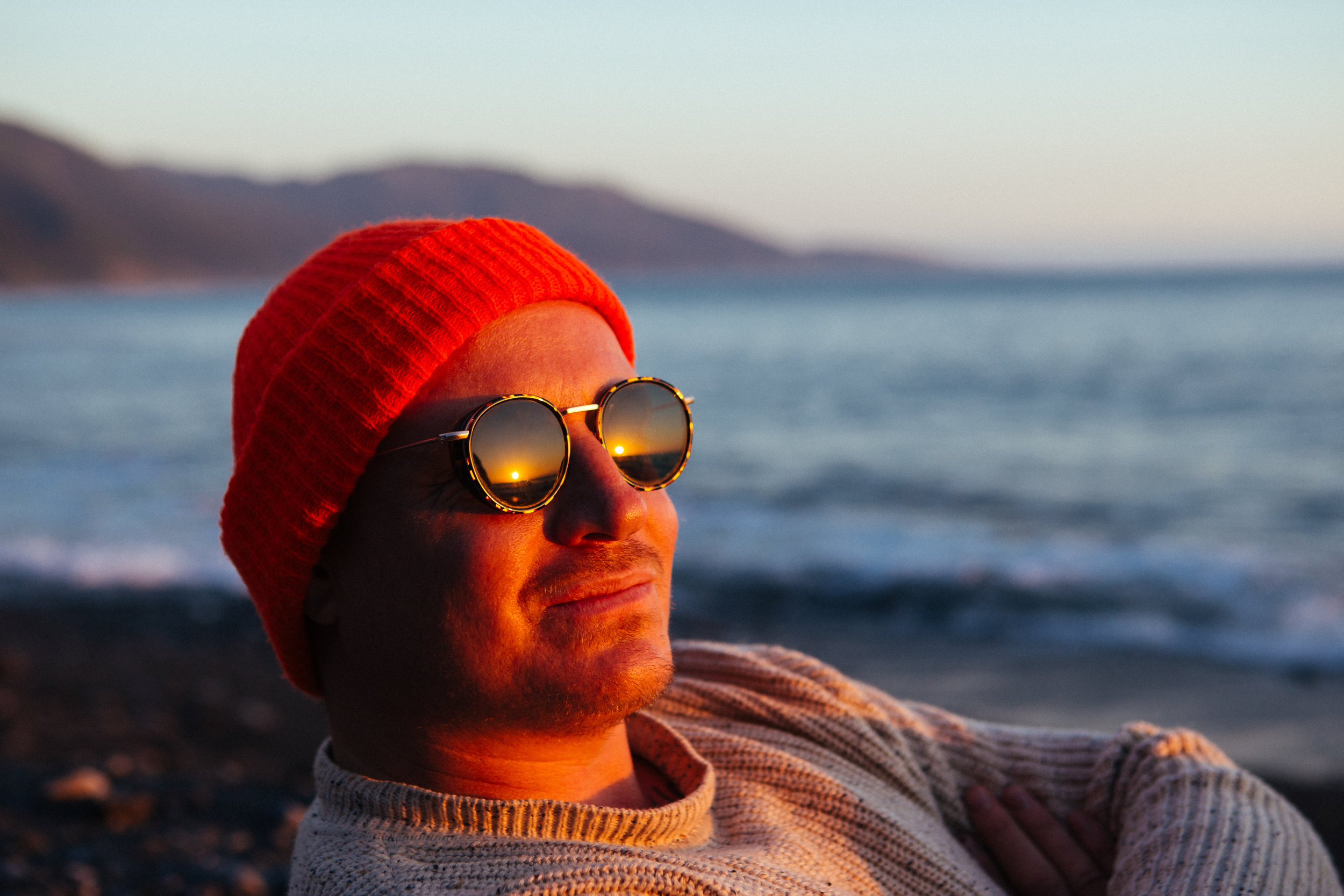
Corey too. His creative approach to snowboarding was, and still is, a brilliant moment to capture. Peep those new Spring Break x Von Zipper collab shades!
This is where the trail goes rogue and the real adventure begins.
Fresh bear tracks. They were hungry too, and why you put anything of odor in the canister at night and place it far away from your tent.
It's gnar out here. There was a huge whale carcass down the way, the smell of death grossly lingered for miles.
Woke up like dis. (Pretty stoked on my gear; tent is the Big Agnes Fly Creek HV UL2 & pack is the Osprey Aether AG 60)
We brought some delicious Drink Coffee Do Stuff "Hell Yeah!" blend. It started our days off with that exact attitude.
After hiking 10 or so miles across the rugged terrain, Corey went max on the relax.
This sunset brought to you by Von Zipper.
AG accidentally modeling, or maybe intentionally posed very casually. We will never know...
Brad surprised us with some Wild Turkey 151 and it was party time ! ! !
Black marble ocean at midnight.
Experiences like this create lifelong friendships.
We won the Lost Coast.
If heaven had a flavor, it was in these beer cans!
This was only half the coastline, there is also a lower section of the trail that leaves the beach and turns into rolling path through the trees and along high bluffs. If you want to join us on that adventure, holler: robbie@robbiesell.com


